Click here to subscribe today or Login.
An arctic air mass that brought snow and ice to an area stretching from the Rocky Mountains to northern New England on Monday was poised to give way to record-breaking cold temperatures.
While the National Weather Service in Binghamton, N.Y., forecasts less than an inch of snow for Northeastern Pennsylvania, Gov. Tom Wolf on Monday asked all Pennsylvanians to be prepared.
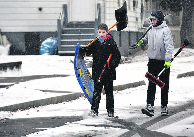
With snow and ice are expected in the northern tier tonight through Wednesday, and a cold snap expected to descend upon the entire state through the week, travel could be treacherous in Pennsylvania above Interstate 80, and state agencies are getting ready.
“People need to be cautious as they head out during this storm because conditions can change quickly, ” said Randy Padfield, Pennsylvania Emergency Management Agency director. “PEMA and our state agency partners are ready for the winter season and we encourage motorists to do the same.”
Predictions here
The National Weather Service says our region can expect rain overnight, mainly after 2 a.m., with the low dipping to around 31. There is a 100% chance of precipitation, with new precipitation amounts between a quarter and half of an inch possible.
NWS says rain and snow are likely today between 7 a.m. and 11 a.m., then becoming mostly sunny, with a high near 38. Chance of precipitation is 60%, with new snow accumulation of less than a half inch possible.
For more information on PennDOT’s winter preparations and additional winter-driving resources for motorists, visit the department’s winter website, www.PennDOT.gov/winter.
Midwest misery
A vision of what could be headed our way was seen in other areas of the country on Monday.
In Chicago, where as much as 6 inches of snow fell, an Envoy Air flight from Greensboro, North Carolina, slid off an icy runway at O’Hare International Airport as it tried to land at about 7:45 a.m. None of the 38 passengers and three crew members were injured, according to the city’s aviation department.
About 1,220 flights were canceled at Chicago’s airports and officials in the area opened warming centers. In Michigan, some schools closed early, as did dozens of schools in the St. Louis area.
The snow and ice was just the first punch from a weather system that pushed frigid air from Siberia across an area stretching from the Rocky Mountains to the East Coast. Temperatures below freezing were forecast as far south as Texas’ Gulf Coast.
“This is an air mass that’s more typical for the middle of January than mid-November,” said National Weather Service meteorologist Kevin Birk. “It is pretty much about the coldest we can be this time of year (and) it could break records all over the region.”


